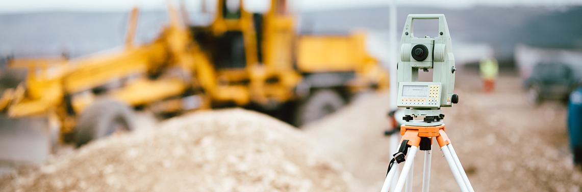
Get accurate survey and map services with RINA North America's cutting-edge technology
RINA is your trusted partner in precision land surveying services and geospatial technical services. With a proven track record of excellence and a commitment to serving our clients’ unique needs, we are able to address a broad spectrum of land surveying and various geospatial technical requirements. We pride ourselves on our commitment to client satisfaction, safety, timely project delivery, and attention to detail. RINA is committed to being abreast with the latest technologies and applying the appropriate tools to address client’s needs. Our work domain encompasses what is underground, at the surface, underwater, and from the air. Our team understands the importance of precise land information in making informed decisions for your real estate investments or construction ventures. When you choose RINA, you choose accuracy, reliability, and a partner dedicated to helping you achieve your goals.

We provided professional survey services by utilizing terrestrial LiDAR at an electrical substation.
The LiDAR data collection provided the advantage of obtaining measurements to key features that were energized and otherwise a safety hazard.
The LiDAR survey allowed us to perform the survey without a shutdown of the substation. Features such as overhead wires, connection points, structural trusses were mapped in accordance with important three-dimensional accuracy requirements.
The LiDAR has even been used to scan conduits in tight crawl spaces and underneath skids to measure where conduits would enter through the floor and where they would exit to the rest of the substation.
We provided Subsurface Utility Engineering (SUE) at an industrial facility in the Midwest. The utilities needed to be identified and then located to determine if they would be in conflict of a future project.
We performed all Quality Levels for SUE (D, C, B, and then A) in accordance to the American Society of Civil Engineers SUE Guidelines 38-02. Starting with a limited number of utility atlases, we searched for and surveyed visible above-ground evidence of utilities in the project area and then traced utilities based on apparent utility appurtenances that were above ground, such as water pipes and electrical conduits.
The team also opened up utility sewer structures to note the depth, size, and direction of the utility to connected to them by adjacent structures. Based on the engineer's design, specific areas were identified as potential conflicts between the existing utilities and the proposed project.
We then engaged a potholing contractor to expose the utilities to obtain the actual location and the depth below ground.
We provided professional surveying services at a slope failure along a service road near a steep embankment next to a canal in the Midwest. The road was about 20 feet above the water and part of the road was lost into the slope failure area.
We utilized a Seafloor HyDrone drone boat with a single beam sonar to collect bathymetry water depth readings, as well as a ground survey topo, to ascertain the natural adjacent slopes and the changed terrain within the slope failure.
Due to safety considerations with the near vertical slopes, a Riegl VZ-400i terrestrial LiDAR scanner was utilized to capture the ground, especially given the challenges to reach it by foot.
The survey was drafted with a surface model such that the engineers could design a solution to stabilize the slopes and protect the road.
We performed a boundary survey to document the location of boundary lines between landowners.
In order to better document the landowner occupation in the area, we performed a UAV flight over the adjoining properties.
We processed the imagery from the UAV to create an orthomosaic that was referenced to the ground survey.
The aerial imagery was superimposed accurately with the rest of the ground survey results such as edges of walls and property lines.
We provided as-built and documentation services for the construction of a 40-mile transmission pipeline in Escambia County, Florida for Peninsula Pipeline.
The efforts provided compliance to completed transmission pipelines per regulation permits.
We performed measurements and attribute tallies of welds, fittings, and limits of prefabricated structures.
We also calculated the subsurface weld locations that laid along jack and bore as well as horizontal directional drill installation areas. The data was formatted into an ESRI geodatabase in accordance with the client’s template.