RINA North America: delivering cost-effective and safe transportation infrastructure solutions

Toll authorities, local agencies, and state departments of transportation across the nation count on RINA for transportation infrastructure services from initial planning through construction close-out. Our services include the planning and design of roads, highways, bridges, and interchanges in rural, urban, and mass transit environments. RINA understands that meeting community objectives, adhering to required standards, and improving safety are key concerns of any transportation project. By partnering with our clients to design projects that are right-sized for current and future needs, and with laser focus on quality, safety, and lifecycle costs, RINA provides our clients with comprehensive solutions that stand the test of time.
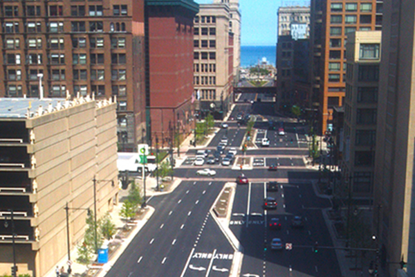
This project took place in a section of I-480 that is the major confluence of I-71, SR-237, and the ramps that serve Cleveland Hopkins International Airport, as well as the nearby rental car facilities. This corridor is particularly complex given the mix of local and non-local motorists, coupled with multi-lane weaves, as well as areas of lane-add/-drop.
Plagued by delays during the evening peak hour, the Ohio Department of Transportation (ODOT) selected our company to utilize performance based practical design for the reconfiguration of the existing westbound (WB) lanes along I-480 to increase the number of lanes from two to three and improve the existing weaves without roadway widening.
The project also involved the rehabilitation of three WB bridges (CUY-480-0792, CUY-480-0805, CUY-480-0832) and included deck overlays, expansion joint replacements, end cross-frame replacements, barrier replacements and retrofits, and abutment patching.
The IL Route 31 corridor improvements extend approximately eight miles through Crystal Lake and McHenry, from IL Route 176 to IL Route 120.
We are preparing Phase II contract plans for reconstruction of the roadway from a two-lane undivided cross-section to two lanes in each direction with a median. The work also includes traffic signal installations, a continuous shared-use path and sidewalk, roadway lighting, curb and gutter, storm sewer improvements, and extensive right-of-way coordination involving more than 200 parcels.
Structural components include a bridge replacement, numerous retaining walls, and a new longitudinal culvert along the corridor. The project also requires environmental mitigation, including tree replacements and stream relocation, as well as permitting for impacts to jurisdictional wetlands.
Because of the corridor length and complexity, the work is being evaluated for staging in multiple construction contracts.
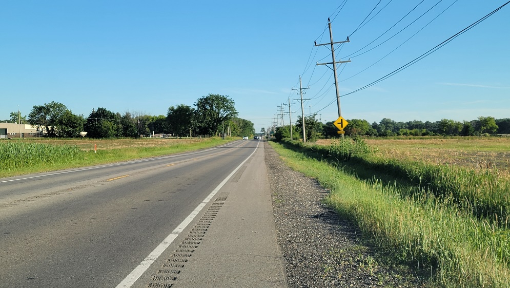
The I-80 Phase I Preliminary Engineering and Environmental Study provided a detailed look at the current and future transportation needs of the corridor.
The study included an analysis of existing roadway and bridge deficiencies, safety and capacity issues, and future transportation needs, and included an extensive public involvement process.
As part of a joint venture team, we were selected by the Illinois Department of Transportation (IDOT) to provided preliminary and final design engineering, as well as environmental services for the improvement of I-80 from Ridge Road to U.S. Route 30, a length of approximately 16-miles.
The study addressed near-term rehabilitation improvements to the roadway and bridges, as well as investigated long-range improvements for the future of this important intercontinental expressway.
The improvements provide additional travel lanes within the median area.
Additionally, we investigated more than 40 structures as part of the project, including the major twin truss bridges that carry I-80 over the Des Plaines River.
A key planning tool was a public involvement program based upon the principles of IDOT’s Context Sensitive Solutions (CSS). Public outreach meetings, public workshops, and stakeholder meetings brought the public into the project development process early on. Corridor Advisory Group, Technical Task Force, and Corridor Interest Group meetings facilitated the coordination with the stakeholders.
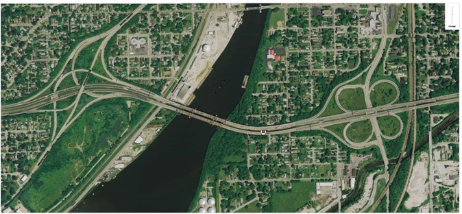
For Francis Road from Gougar Road to I-80, we completed a Phase I engineering and environmental study for a 0.86-mile segment in the Village of New Lenox and City of Joliet.
The project advances the reconstruction and widening of Francis Road from a two-lane rural roadway with open drainage to a three-lane rural cross-section, including a right-turn merge lane at Silver Cross Boulevard for future use as a relocated right-turn lane.
Our scope included roadway geometrics, intersection design studies, safety and crash analyses, drainage studies, environmental assessment, subsurface investigation, pavement design, retaining wall evaluation, detour design, and construction recommendations.
Several alignment shifts were investigated along tangent and curved sections of the corridor to minimize impacts to adjacent properties. We also evaluated retaining walls as a way to reduce private property impacts while still meeting the roadway improvement goals.
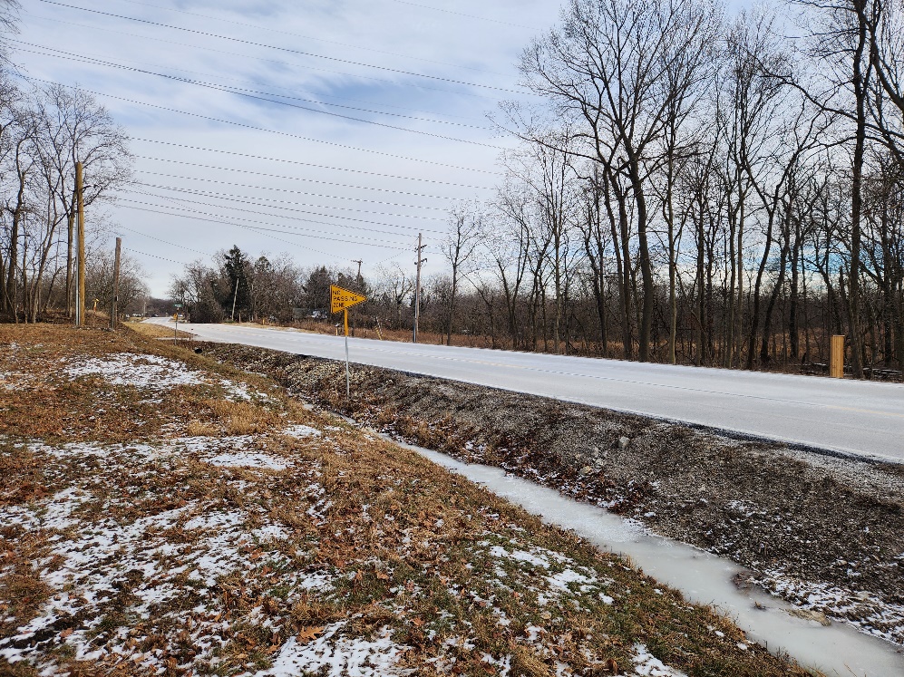
As the number of accidents increased on Happ Road, between Winnetka Road to Willow Road, so did the need to improve safety.
Therefore, the Village of Northfield engaged with our company to complete a Phase I Engineering and Environmental Study that would not only improve safety for all users, but also transform the Village’s downtown into a corridor supportive of local business, community gatherings, and walkable access.
After an intensive public engagement program, the Village of Northfield, Cook County Department of Transportation and Highways (CCDOTH), and the Illinois Department of Transportation (IDOT) approved the study.
As part of the transformation plan, Happ Road will be converted from a 2-lane rural roadway to a 3-lane urban cross-section with center bi-directional left turn lane.
At Orchard Lane, located just south of the major intersection with Willow Road and in the Village’s Downtown Center, a traffic signal was not a practical option, and a modern roundabout was selected as the preferred option.
In addition to improvements to the roadway, continuous sidewalk, bike-path, and a mid-block pedestrian crossing will be included.
The Veterans Memorial Tollway (I-355) is a major north-south tollway in central DuPage County, carrying approximately 268,000 vehicles per day.
Furthering its commitment to timely maintenance of roadways and bridges, the Illinois Tollway selected our company to inspect and develop rehabilitation plans for I-355 between Butterfield Road and Army Trail Road, a distance of approximately 7.5 miles.
One major design challenge was how best to maintain traffic without causing congestion and delays for daily commuters. To maintain operations, we developed traffic shifts and work zone configurations allowing the Tollway to maintain all lanes during peak travel times.
As part of this project, we inspected and designed 25 bridges (including one railroad bridge over I-355), retaining walls, and overhead cantilever sign structures within this corridor. Lighting, drainage, and noise abatement wall upgrades were also included.
Under an accelerated design schedule, we delivered project design a year early to meet the Illinois Tollway’s needs.
Designated as a “Project of National and Regional Significance,” the $3.4 billion Elgin O’Hare Western Access Project is delivering two new Tollway’s – the Illinois Route 390 Tollway and the I-490 Tollway – to address the area’s diverse travel needs by improving travel efficiency, providing western access to O’Hare International Airport, creating opportunities for economic development, and enhancing multi-modal connections and reducing congestion.
Our led Joint Venture Team provided Phase II contract plans for the Illinois Route 390 Tollway Project from Lively Boulevard to Supreme Drive, including the Busse Road (IL Route 83) interchange.
Our Team of experts provided seamless coordination with the adjacent section teams to develop/design the complex staging required to shift all Thorndale Avenue traffic to newly constructed frontage roads, to vacate the area so that the new elevated tollway could be built and open to traffic the following year.
In addition to the design of a new six-lane mainline toll facility with adjacent eastbound and westbound frontage roads, ramps, and the widening and reconstruction of Illinois Route 83, the project included design of eight (8) new overhead mainline bridge structures, including dual structures over Lively Boulevard, IL 83, the Chicago Terminal Railroad, and Supreme Drive..
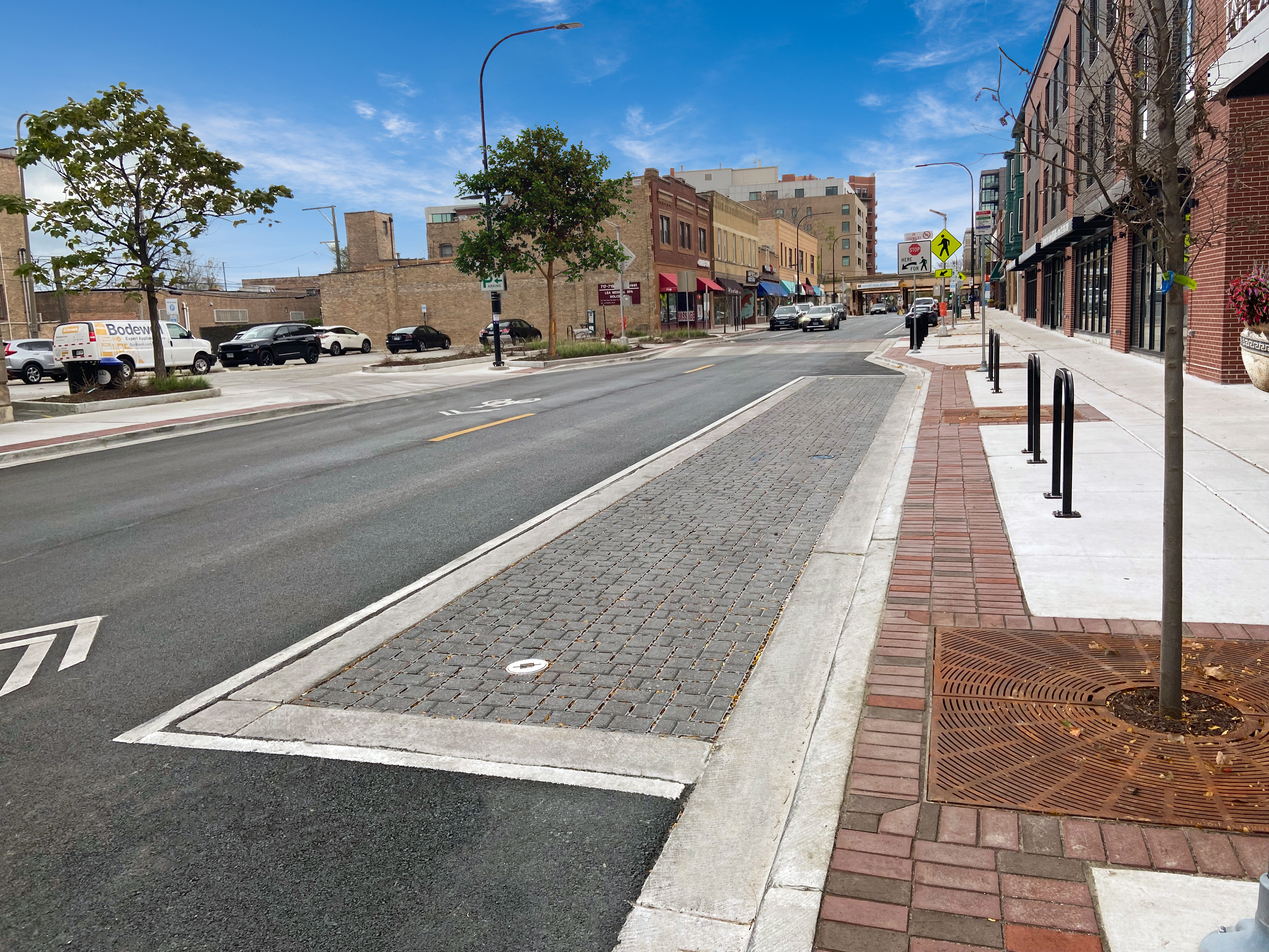
In Evanston, the Main Street improvements focused on a 0.4-mile corridor between Maple Avenue and Hinman Avenue, passing through a downtown business district and historic district.
We developed the Phase I engineering and environmental study, prepared Phase II contract plans, and provided Phase III engineering for related water main and roadway improvements. The project included roadway and utility upgrades, improved pedestrian safety, ADA-compliant crossings and sidewalks, enhanced parking, bicycle accommodations, streetscape features, lighting, drainage, landscaping, and traffic signal improvements.
Public involvement was central to the planning process, with two public meetings and five community advisory group meetings helping shape enhancements that supported both corridor users and nearby businesses.
We also assisted the City in securing outside funding through the MWRD Green Infrastructure program, Invest in Cook, and the Illinois Transportation Enhancement Program by incorporating sustainable elements such as permeable pavers and improved tree plantings.
Construction was staged to minimize disruption to businesses, with the work separated into two packages to isolate deep utility work and create greater schedule certainty. The project received a 2025 Special Achievement Award from the American Council of Engineering Companies (ACEC) of Illinois Engineering Excellence Awards.