Innovate the utility landscape with RINA North America's customer-focused solutions

Utility customers have become more sophisticated and demanding of the services being provided in the new digital landscape. Utilities are now challenged with providing more benefits and interaction with customers without sacrificing traditional safe, secure, and reliable service. We understand our client’s core business drivers and how to apply new methods using technology to address the changing utility landscape.
Our team of experts understands the challenges of modernizing aging infrastructure to support an increasing demand to improve customer experience and sustainable power.
Our ability to respond quickly with innovative, budget-sensitive solutions with consistent quality is the key to maintaining the level of service clients have come to expect.
Our team is a valued business partner of AEP I&M that supported the utility's ongoing Volt-VAR Optimization (VVO) deployment. Our team works closely with AEP I&M engineers to prepare detailed load flow analysis of proposed VVO deployments. These VVO studies examine substations and connected circuits in both 'as-is' and proposed reduced bus voltage levels at peak non-coincident loads and 'light' load conditions necessary to assess the 'readiness' of distribution circuits for proposed VVO.
VVO studies identify recommended changes in phase connectivity on larger taps or laterals, capacitor banks, voltage regulators, and line monitoring equipment necessary to maintain power factors near unity and voltage levels at or above 118 Volts at reduced bus voltages under peak and light load conditions. In addition, these VVO studies identify recommended upgrades to switched capacitor bank and voltage regulator controls, and capacitor bank fusing to current AEP standards.
To overcome operational inefficiencies, Hull Municipal Light staff sought to convert their AutoCAD-based data into Esri's Utility Network. Our team was responsible for migrating the data, performing cleanup tasks, and working closely with stakeholders to identify business rules and regulatory requirements for the new model. Beyond data conversion, we deployed ArcGIS Enterprise and Field Maps that enabled Hull field crews with a modern, digital workflow that allowed them to view assets and capture inspection information in real-time.
With the deployment of a full Network Information Management System, Hull Municipal Light can now interact with and perform analyses on their entire network both online in the office and offline in the field. For the first time, Hull has a common operating picture that is reliable, scalable, and integrated across their organization.
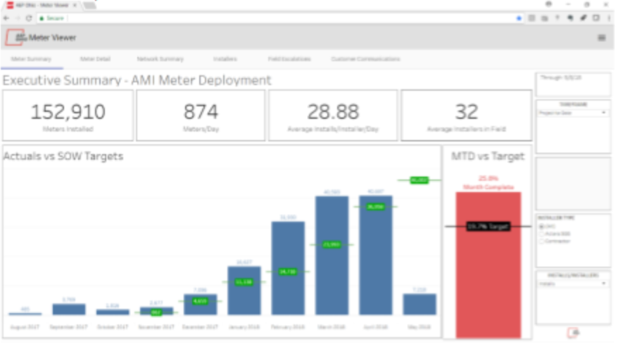
We developed a web-based application for American Electric Power (AEP) Ohio's advanced meter infrastructure (AMI) deployment. We were awarded a contract to provide the operating company with a tool to help a variety of stakeholders quickly understand project status and be able to explore data without logging into and querying multiple systems-of-record. The tool was designed to transition from deployment to program maintenance upon completion of the 894,000 project meters being installed.
The KPIs highlights project status versus targets, installer performance, milestones schedule, customer service tracking, and safety event data. Additionally, communications are displayed to assist customer service groups in aiding customers. The system automatically refreshes data from AEP's customer information system, project master schedule, install vendor's workforce management system, and several static spreadsheets
O
ur Qualify with Confidence (QWiC) tool was deployed at Wide Open West (WOW!) to streamline serviceability analysis for new telecommunications builds across their service territory. Previously, WOW!'s process involved multiple systems and tools that resulted in inefficient cost estimating, costing the organization time and resources.
Deploying QWiC has allowed WOW! to integrate seamlessly with their existing Esri platform and data, analyzing their plant for the most efficient and least cost path to build. The result is a comprehensive network dataset that produces three distance-based routes for each qualify quote. The Sales Team is then able to select the best route for each individual location or run a bulk process to see multiple sales opportunities in one single view. For the first time, WOW! has an integrated tool that enables their organization with efficient serviceability and cost analysis.
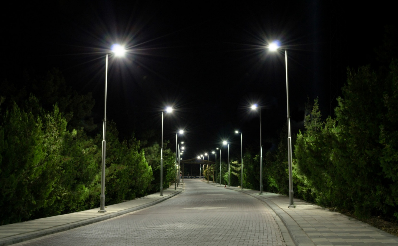
AEP Ohio initiated a program to replace all 225,000 existing HPSV street and area lights with LED lights with smart controllers. The program began with technology, process and costing pilots beginning in April 2019 with approval to proceed was granted in December 2021.
We provided technological and business analytical services during the pilot evaluations and the deployments. This included developing the business case, tariffs, and helping to prepare the testimony before the Public Utility Commission. We helped with the technical requirements, developed the Request for Proposal (RFP), testing and vendor selection, developed the installation processes, and helped define the interfaces for integration of the Control Management System (CMS) with AEP's IT back office.